Inside a City Redesigned for Superstorms and Sea Level Rise

This resource has been reviewed by SubjectToClimate's climate scientists and verified for scientific accuracy and up-to-date information. Learn about our review process →
Provided by: Grist|Published on: April 27, 2021
VideosScientist Reviewed
6789101112
Scientist Reviewed This resource has been reviewed by SubjectToClimate's climate scientists and verified for scientific accuracy and up-to-date information. Learn about our review process →
Synopsis
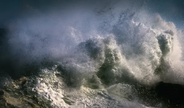
- This video from Grist shows how the city of Hoboken, New Jersey redesigned the city's infrastructure after Hurricane Sandy caused major flood damage in 2012.
- Students will learn why the National Flood Insurance Program is not sustainable and how disaster relief money could be better spent on flood resistance infrastructure such as building seawalls, underground stormwater tanks, and pumping stations.
Subjects: Engineering
Authors: Grist
Region: North Jersey
Languages: English
Teaching Materials
Positives
- The video description section offers a number of links to sources that provide more information on the topics discussed in the video.
- The interview with Hoboken's mayor will help students understand the situation that many coastal communities now face.
Prerequisites
- Students will benefit from locating Hoboken, New Jersey on a map to better understand its location and challenges.
- The video provides a very brief description of the National Flood Insurance Program, but most students will need more background information on the program to understand how it works.
Differentiation & Implementation
- Geography classes can identify other coastal towns and cities that suffer from storm surge flooding and research whether or not they have flood prevention plans.
- Engineering and design classes can design their own flood prevention proposal for a real or fictional coastal city.
- Ethics classes can discuss how economic disparity results in some cities being able to invest in flood prevention infrastructure, while other cities find themselves in an endless cycle of flooding and rebuilding.
- Other resources on this topic include Why Climate Change Makes Extreme Weather Worse, Ike Dike, and Solutions Can Protect Coastal Communities.
Scientist Notes
Teaching Tips
Standards
Resource Type and Format
Scientist Reviewed
This resource has been reviewed by SubjectToClimate's climate scientists and verified for scientific accuracy and up-to-date information. Our review process ensures that every resource in our library reflects the current state of climate science.
Learn about our review process →


