China Mapping Ocean Waters for Potential Submarine Warfare, Report Says
March 31, 2026

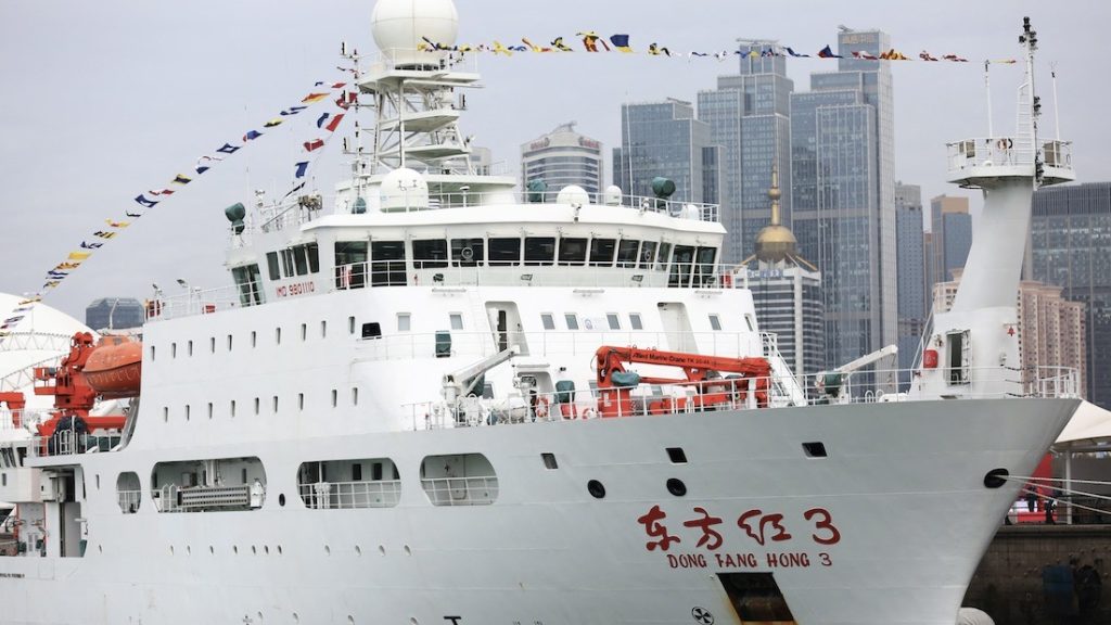
 China has used deep sea research vessels to map parts of the ocean floor. Naval experts say the maps could be used in sub warfare against the US and its allies. That’s from an investigation by the Reuters news agency.
The vessels are said to be doing research. For example, the Dong Fang Hong 3 is a research vessel for Ocean University of China. It spent 2024 and 2025 in waters near Taiwan and Guam. Guam is a territory of the US. The university said it was doing mud surveys and climate change research.
But Reuters said a paper written by the research team on the sub shows the vessel did a lot of deep sea mapping. That would give China a portrait of what these seafloors look like. And it would help China greatly during any type of sub warfare. For years, China has threatened to take Taiwan by force.
“The scale of what they’re doing is about more than just resources,” Jennifer Parker told Reuters. She teaches at the University of Western Australia. She is also a former Australian anti-submarine warfare officer. Parker added that it's "very clear" that China intends to prepare for a conflict "built around submarine operations."
The Reuters report noted that the Dong Fang Hong is just one of dozens of vessels mapping the ocean floor. Reuters studied Chinese government and university records. It also tracked more than five years of movement by 42 research vessels. It used a ship-tracking platform built by a company called Starboard Maritime Intelligence. It's based in New Zealand.
Reflect: What do you think are the benefits and risks of using scientific research for military purposes?
Photo of Dong Fang Hong 3, a deep-sea research vessel, from Reuters.
News brought to you by 
Read More News Stories Today!