Pixels on Fire
Provided by: NASA|Published on: November 27, 2023|Last updated: July 16, 2026
Grades: 4, 5, 6, 7, 8
Type: Lesson Plans
Subjects: Earth and Space Sciences, Mathematics
Authors: NASA
Location: North America, North America > United States, North America > United States > California

This resource has been reviewed by SubjectToClimate's climate scientists and verified for scientific accuracy and up-to-date information. Learn about our review process →
This resource has been reviewed by SubjectToClimate's climate scientists and verified for scientific accuracy and up-to-date information. Learn about our review process →
Synopsis
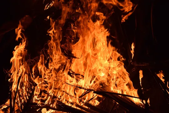
- In this lesson, students will examine how NASA remotely detects wildfires from space, how they display satellite data about the Earth's climate, and information about three Californian wildfires of the 21st century.
- Students will engage in a classroom activity that is hands-on and informative, complete a worksheet that gauges their comprehension of the lesson's material, and explore interactive media that provides a deeper understanding of how NASA monitors the Earth's climate.
- Students will study data from the Powerhouse Fire in Los Angeles, the Rim Fire in Northern California, and the July Complex Fire in Northern California.
Teaching Materials
Positives
- This lesson allows students to use their mobile devices productively.
- The materials in this lesson are easy to obtain.
Additional Prerequisites
- Internet access is required to administer this lesson.
- Students must work in groups of 2-4 to complete the lesson.
- The Eyes on Earth app has changed since the instructions in the resource were written. Explore the tool before guiding students through the activity.
Differentiation
- To assess prior knowledge, the class can discuss satellites and their purposes.
- This lesson can fit within a larger unit on human efforts to monitor climate change.
- This lesson can enhance a classroom discussion on the increased frequency of wildfires in the past 20 years, why this increase is happening, and the impacts of wildfires on the environment.
- Students in language arts classes can read narratives about those who experienced wildfires.
- Some students may struggle to hold the mobile device consistently level and at the same height. These students may benefit from a stand, tripod, or other assistance.
This resource is from the CLEAN collection. “The CLEAN collection is hand-picked and rigorously reviewed for scientific accuracy and classroom effectiveness.”
Teaching Tips
Standards
Resource Type and Format
Scientist Reviewed
This resource has been reviewed by SubjectToClimate's climate scientists and verified for scientific accuracy and up-to-date information. Our review process ensures that every resource in our library reflects the current state of climate science.
Learn about our review process →