It is easy to toggle between different locations in the Local Start of Spring maps to easily compare data.
The video provides helpful context and an additional entry point for students who may not be as comfortable with interpreting maps.
Prerequisites
This resource builds on students' understanding of climate change, its causes, and its impacts.
Differentiation & Implementation
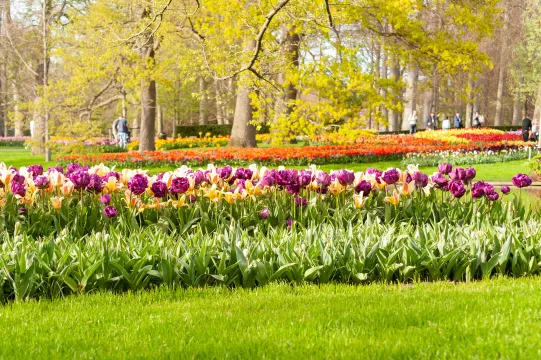
To activate students' prior knowledge, teachers can ask students what usually indicates spring to them or how they identify that it is spring.
Teachers can introduce students to the term phenology and explain how it relates to this topic. Teachers can also use this resource to show how data on phenological changes has been logged by citizen scientists.
These resources can be used to support a data analysis and literacy activity, where students analyze the first Start of Spring 1981-2025 map and identify labels, write their questions, and develop an understanding of what the map says before moving on to the local map and the video.
Students can compare different regions using the Local Start of Spring maps and hypothesize about why spring may arrive earlier in some parts of the country than in others.
Scientist Notes
Teaching Tips
Standards
Resource Type and Format
About the Partner Provider
Climate Central
Climate Central is an independent group of scientists and communicators who research and report the facts about our changing climate and how it affects people’s lives.
Related Teaching Resources
All resources can be used for your educational purposes with proper attribution to the content provider.