Sea Level Rise and the Fate of Coastal Cities

This resource has been reviewed by SubjectToClimate's climate scientists and verified for scientific accuracy and up-to-date information. Learn about our review process →
Provided by: Google Earth|Published on: April 27, 2021
Data, Graphs, and MapsScientist Reviewed
6789101112
Scientist Reviewed This resource has been reviewed by SubjectToClimate's climate scientists and verified for scientific accuracy and up-to-date information. Learn about our review process →
Synopsis
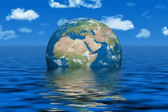
- This interactive tour shows projected sea level rise of eight different locations under 2°C and 4°C warming scenarios.
Subjects: Chemistry, Earth and Space Sciences
Authors: Google Earth, Climate Central
Region: Global
Languages: English
Teaching Materials
Positives
- This map shows these cities underwater, making sea level rise more concrete for students.
- Additional links feature maps and fly-over videos for certain cities.
Additional Prerequisites
- Students should be familiar with how climate change causes sea levels to rise.
- Projected sea level rise for each city can be visualized at global warming of 2°C or 4°C. You can challenge your students to notice the differences between the two warming scenarios.
- Students should be familiar with climate change and sea level rise.
- This tour of sea level rise around the world features the following eight locations:
- (1) Antarctica
- (2) London, England
- (3) New York City, USA
- (4) Mumbai, India
- (5) Shanghai, China
- (6) Lagos, Nigeria
- (7) Rio de Janeiro, Brazil
- (8) San Francisco, USA
Differentiation
- Students who live in or near one of these cities can explore the hyperlocal impacts of sea level rise under these two different warming scenarios.
- Social studies and geography students can explore these cities and offer recommendations for climate adaptation, including building sea walls, retrofitting buildings to withstand chronic flooding, and organizing a managed retreat from the coast. Students could present their findings to the rest of the class.
- Science students can conduct this experiment to understand the thermal expansion of water, one of the reasons for sea level rise.
- Students can use this NOAA resource to read more about sea level rise and see up-to-date information on sea level rise.
Sustained carbon emissions are causing the Earth to warm faster, and most coastal cities will disappear. However, there is a contradiction in the data where it says "reduction in emissions to reach 2 degrees Celsius." Educators should note that the IPCC reports and the Paris Agreement are about cutting down emissions to 1.5 degrees Celsius a little above the pre-industrial era by 2100. More so, the August 2021 "Code Red" IPCC report maintained that even limiting GHG emissions to 1.5 degrees Celsius will be beyond reach. The resource is recommended.
Teaching Tips
Standards
Resource Type and Format
Scientist Reviewed
This resource has been reviewed by SubjectToClimate's climate scientists and verified for scientific accuracy and up-to-date information. Our review process ensures that every resource in our library reflects the current state of climate science.
Learn about our review process →


