Loading...

Some resources from federal government sites are currently unavailable; when possible, we’ve provided alternative non-government links to ensure continued data access.

Tracking Water Using NASA Satellite Data

Provided by: CLEAN |Published on: November 21, 2023
Lesson Plans
45678

Synopsis

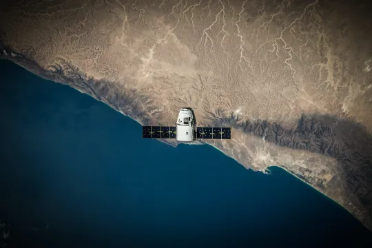
  • In this lesson, students graph data collected by NASA's GRACE satellites and look at trends in the water mass of different locations.
  • Students learn how the satellites use the concepts of gravity and mass to track water, why tracking water is increasingly important, and how water content has changed over a decade.
Related Teaching Resources
Subjects: Earth and Space Sciences, Mathematics, Engineering
Authors: NASA Jet Propulsion Laboratory
Region: Global
Languages:

Teaching Materials

Scientist Notes
Teaching Tips
Standards
Resource Type and Format

About the Partner Provider

CLEAN
The CLEAN Network is a professionally diverse community of over 630 members committed to improving climate and energy literacy locally, regionally, nationally, and globally in order to enable responsible decisions and actions. The CLEAN Network has been a dynamic group since 2008 and is now led by the CLEAN Leadership Board established in 2016. 

Related Teaching Resources