Coral Reefs and Global Warming

This resource has been reviewed by SubjectToClimate's climate scientists and verified for scientific accuracy and up-to-date information. Learn about our review process →
Provided by: BioInteractive|Published on: April 19, 2021
Lesson PlansScientist Reviewed
9101112
Scientist Reviewed This resource has been reviewed by SubjectToClimate's climate scientists and verified for scientific accuracy and up-to-date information. Learn about our review process →
Synopsis
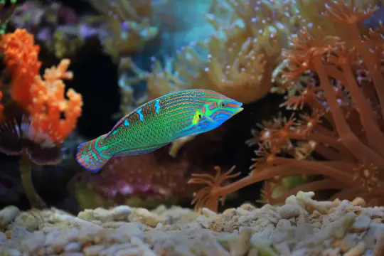
- In this activity, students will learn how warming temperatures affect corals and graph the temperature data from a specific coral reef site to assess the risk of coral bleaching in the area.
Subjects: Biology, Earth and Space Sciences
Authors: BioInteractive
Region: Global
Languages: English, Spanish
Teaching Materials
Prerequisites:
- Ensure students know how to use spreadsheet programs to graph the data.
- Consider walking students through the activity if they are unfamiliar with how to make predictions based on scientific modeling.
Extensions:
- After completing the activity, students compare the results from their location to students' results from other locations to determine whether some regions of the world are more affected by warming ocean temperatures than others.
Interdisciplinary Connections:
- Geography:
- Learn more about the locations to see how damage to the coral reefs in the regions might impact tourism or other industries.
Related Resources:
- Other resources on this topic include this National Park Service video on how coral health is connected to fish populations, this interactive NASA resource that provides data on ocean heat, and this lesson and experiment on ocean acidification.
Scientist Notes
Teaching Tips
Standards
Resource Type and Format
About the Partner Provider

BioInteractive
BioInteractive brings the power of real science stories into tens of thousands of high school and undergraduate life science classrooms.
Scientist Reviewed
This resource has been reviewed by SubjectToClimate's climate scientists and verified for scientific accuracy and up-to-date information. Our review process ensures that every resource in our library reflects the current state of climate science.
Learn about our review process →


