Drought Affects California’s Water Availability

This resource has been reviewed by SubjectToClimate's climate scientists and verified for scientific accuracy and up-to-date information. Learn about our review process →
Provided by: PBS|Published on: November 20, 2023
Data, Graphs, and MapsScientist Reviewed
345
Scientist Reviewed This resource has been reviewed by SubjectToClimate's climate scientists and verified for scientific accuracy and up-to-date information. Learn about our review process →
Synopsis
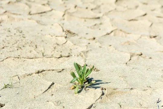
- These downloadable and printable visualizations include a map depicting drought conditions in California, photos of the snowpack in the Sierra Nevada mountains, and pictures of the water level in the Folsom Lake marina to show the effects of drought in California during three different years.
- Students will learn about changes in water availability through interpreting data and analyzing imagery, thus providing observational evidence.
Subjects: Social Studies, Earth and Space Sciences
Authors: PBS
Region: North America, USA - West, United States, Global, California
Languages: English, Spanish
Teaching Materials
Positives
- There are buttons along the side of the resource for teachers to easily integrate it into Google Classroom or share it to social media.
- Teachers can find support materials on the page, such as teaching tips, a background essay, discussion questions, and handouts.
Additional Prerequisites
- Students and teachers may need a PBS Learning Media account to sign in to view the resource. Educators must sign up as a teacher for PBS and verify their email before logging in.
- Students may need the terms drought, snowpack, and marina defined before viewing the resource.
- If completing the worksheet, students should know how to support claims with evidence from data and textual information.
Differentiation
- Teachers may wish to begin the lesson by discussing drought and its effects in the students' home states.
- The printable student handout explains the map's organization, so English teachers may wish to have students create a paragraph of explanation and then share it as a think-pair-share activity.
- Since the three combined visualizations provide three different ways of looking at drought, teachers may wish to split students into three groups and then use the jigsaw method for small-group learning. After the groups finalize their summaries, there can be a whole-class discussion utilizing the combined information.
- Students can research California's drought conditions over the last 50 years and discuss trends and patterns.
- The map is available in Spanish, but the worksheet is only in English. However, the Microsoft Word page that opens the document can translate the text into many languages.
This resource is from the CLEAN collection. “The CLEAN collection is hand-picked and rigorously reviewed for scientific accuracy and classroom effectiveness.”
Teaching Tips
Standards
Resource Type and Format
Scientist Reviewed
This resource has been reviewed by SubjectToClimate's climate scientists and verified for scientific accuracy and up-to-date information. Our review process ensures that every resource in our library reflects the current state of climate science.
Learn about our review process →


